
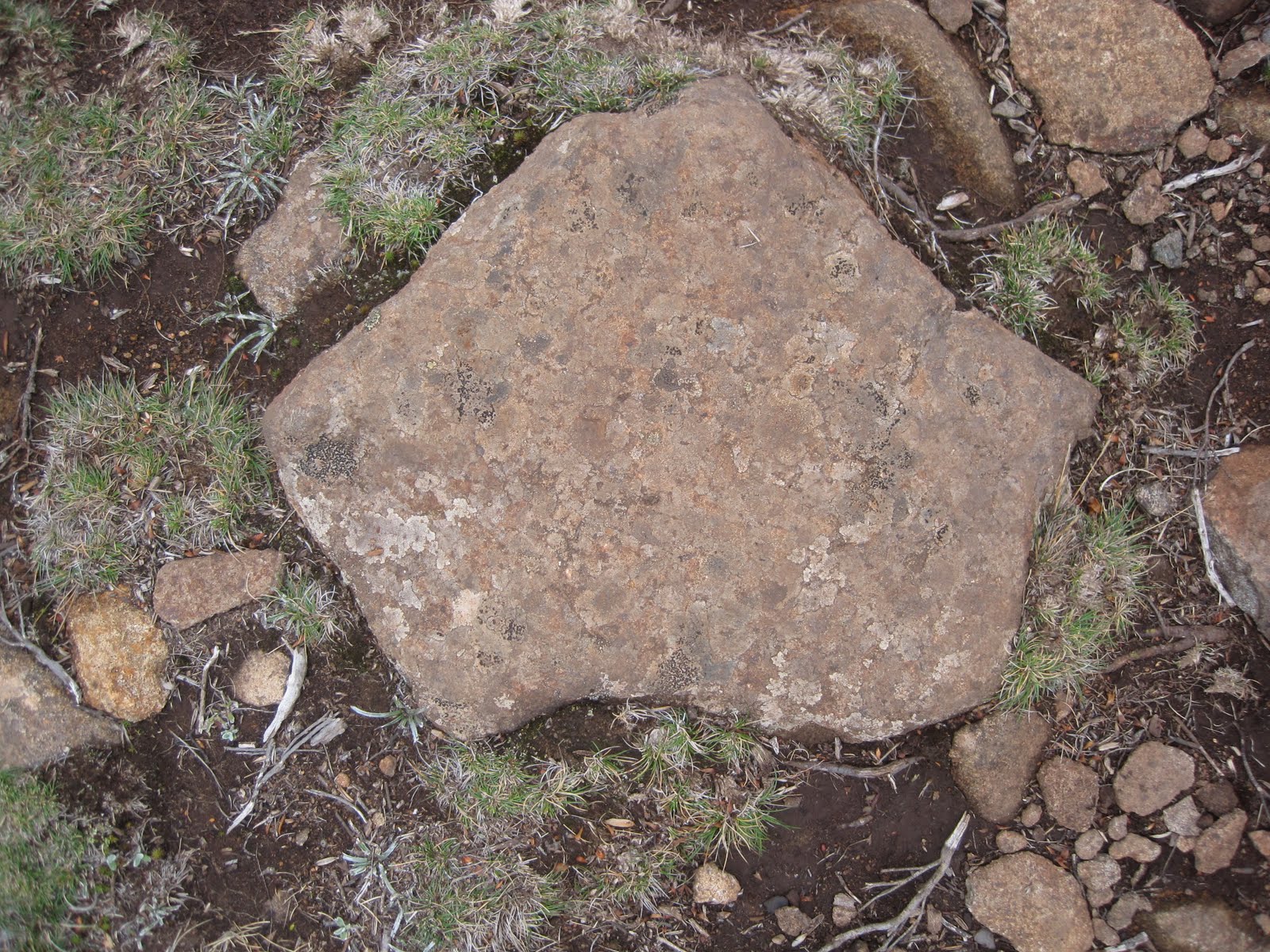
Sometimes when you hike, especially on a difficult hike such as Mt. Wellington, the focus tends to be on the ground rather than the surrounding areas. In most cases, the ground gets quite boring and tiring to look at- but on this hike the rocky terrain kept me busy. The shape of the rocks constantly changed, as well as the angle and incline- it was exhausting. Luckily, on this hike I was able to capture an "Australian Map" embedded in the ground on the terrain. The foot stone has the shape of the mainland Australia as well as a tiny rock at the south east side resembling Tasmania separated by the Bass Strait- a self-reflexive mapping of the Oz ground.
No comments:
Post a Comment